
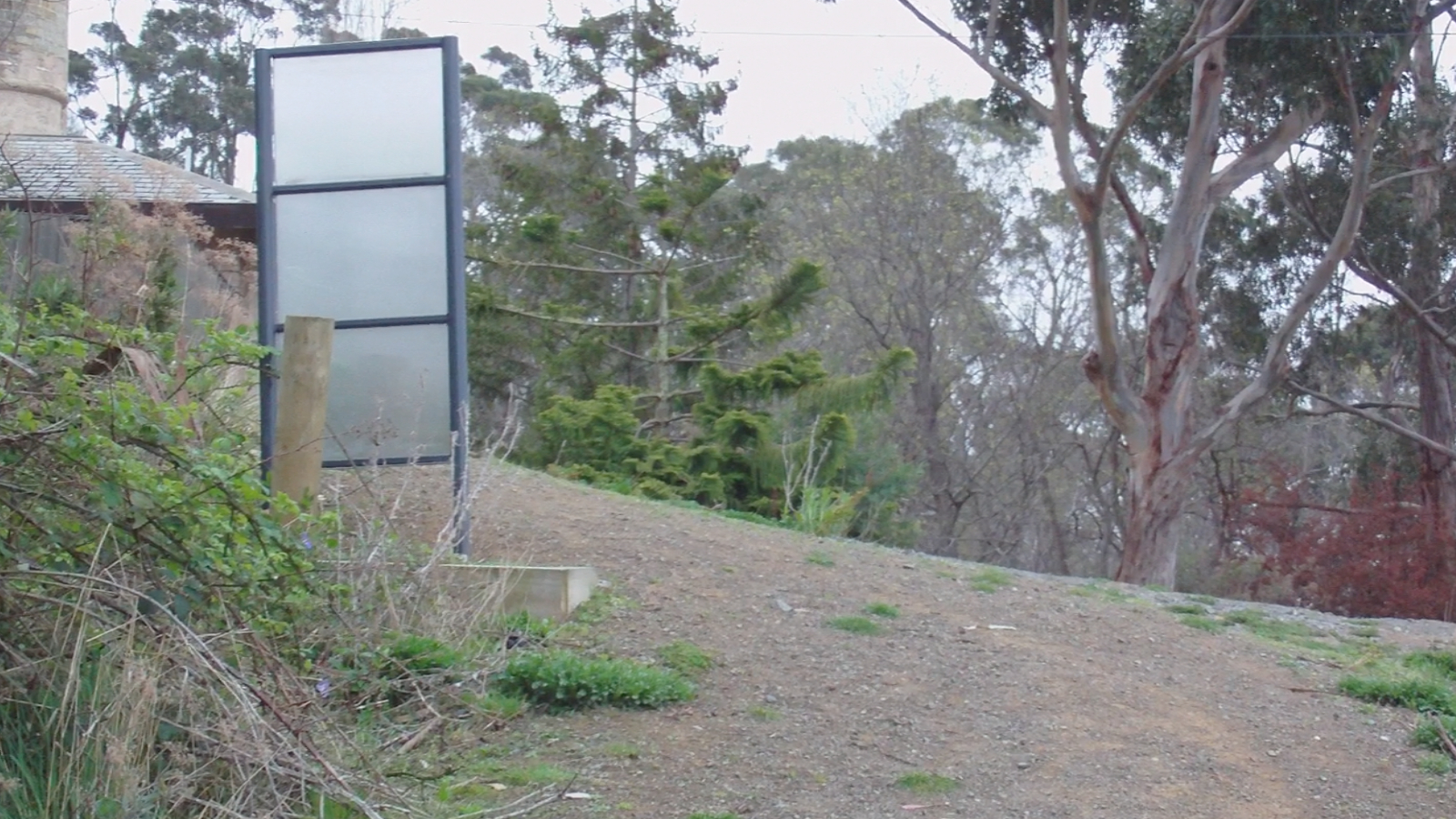
Following the implied suggestion from the sometime Mayor of Kingborough, Dr. Graham Bury, that the Alum Cliffs Track constituted a safe and proper path between Taroona and Kingston, Informal strolled thereby to Kingston early this morning.
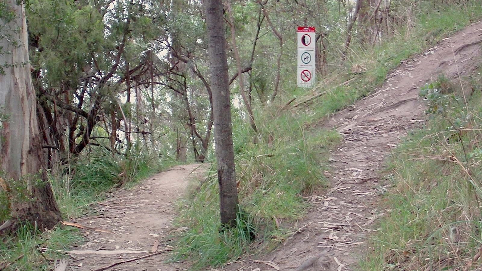
The track has appropriate signs at either end, and over the course of the walk, but no sign could be found away from the track which might advise visitors of its existence. (Many locals, however, judging from the numbers of people seen traversing the track this morning, are very familiar therewith.) Also, apparently, no sign exists at the southern end, on Kingston Beach, advising visitors whither they should proceed in order to reach the centre of Kingston, a kilometer or so away. Furthermore, pedestrians who wish to travel between Kingston and Taroona by way of the Alum Cliffs Track—if by fortuitous happenstance they are informed thereof—must negotiate the four
furlongs or so of parlous, pathleſs highway between the Shot Tower* and the beginning of footpaths in Taroona at Baringa Road.
The Alum Cliffs Track is very steep at times and is inaccessible to wheelchairs; bicycles are forbidden. The Greater Hobart Trails site advises: “Due to the track being narrow and with steep edges in places, care is required at some locations”.
Much of the track is surrounded by sclerophyllous scrub but, in some moister gullies, man ferns flourish; the Greater Hobart Trails site features this appreciative description of the track (from the south):
The track […] climbs from Tyndall Beach (adjacent [to] Kingston Beach) through coastal blue gum forest with tall silver banksias. The track then winds up through silver peppermint bushland, dips into a glorious fern-filled gully, before rising again onto headlands for commanding views over Storm Bay and the Derwent Estuary.
The track commendably features several benches at appropriate places along the route for resting and for gazing upon the various attractive views.
The pictures below are shewn in sequence from Informal’s sauntering from the northern end of the Alum Cliffs Track, just downhill from the Shot Tower, to the southern end at Kingston Beach.
(Note that, at both ends of the track, the signs provide details of the return trip as if no one were expected to walk the track only one way; note also that the council’s own signs’ description of the Alum Cliffs Track is “Narrow bush track”.)


* the Shot Tower, if you choose to believe Touring Tasmania, “was built in 1780”, twenty-three years before the first British settlers arrived in Hobart; it was in fact constructed in 1870.
UPDATE (18 November): Kingston Beach:
UPDATE (18 November): Kingston Beach: